
035 - Canyonlands National Park, Utah
SKU:
035-PDF
$8.00
$8.00
per item
PDF File via download
Updated - May 2013
This newsletter describes off-the-beaten-path locations, how to photograph Mesa Arch, explore the Shafer trail, find the best petroglyphs in the Island In The Sky and the southerly region, called the Needles District. Discover an old sod-roof cabin and hike to Chesler Park in the Needles.
No shipping or handling charges. No CA sales tax.
|
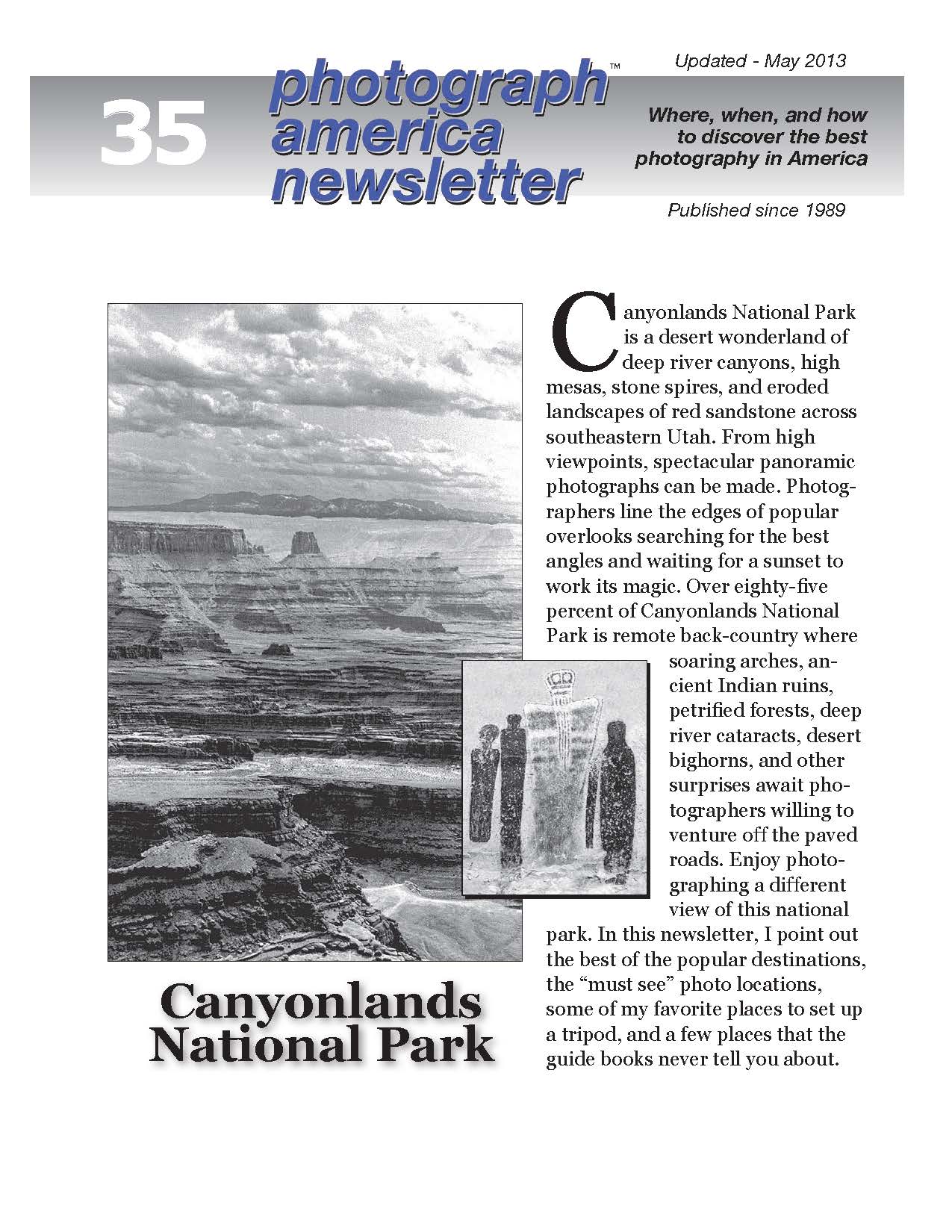
Canyonlands National Park is a desert wonderland of deep river canyons, high mesas, stone spires, and eroded landscapes of red sandstone across southeastern Utah. From high viewpoints, spectacular panoramic photographs can be made. Over eightyfive percent of Canyonlands National Park is remote back-country where soaring arches, ancient Indian ruins, petrified forests, deep river cataracts, desert bighorns, and other surprises await photographers willing to venture off the paved roads. Enjoy photographing a different view of this national park.
This newsletter describes off-the-beaten-path locations and places most never discover, how to shoot Mesa Arch, exploring the Shafer trail, finding the best petroglyphs in the Island In The Sky, and visiting the southerly region called the Needles District. Discover an old sod-roof cabin and hike to Chesler Park in the Needles. Several pages are devoted to describing the trek into Horseshoe Canyon to photograph the "Great Gallery," the best panel of pictographs in North America, in a remote western annex of Canyonlands. |
Locations
|