|
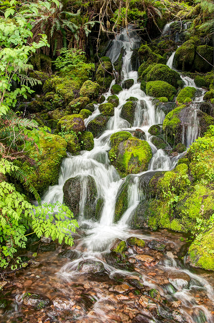
Unlike any forest I’ve ever seen, the Hoh Rain Forest in northwestern Washington State, is dense with ancient conifers covered with beards of hanging moss surrounded by ferns and dense undergrowth.Photographers visiting the Olympic National Park must add this remote forest fantasy to their itineraries to capture the dripping landscapes, glacier-fed rivers and waterfalls. Too crowded in the summer, spring and autumn are the best times for photography. A mid-winter visit will reveal the most dramatic rain forest images but you may be rained out.A four-hour drive from Seattle will take you into the heart of the Hoh Rain Forest.
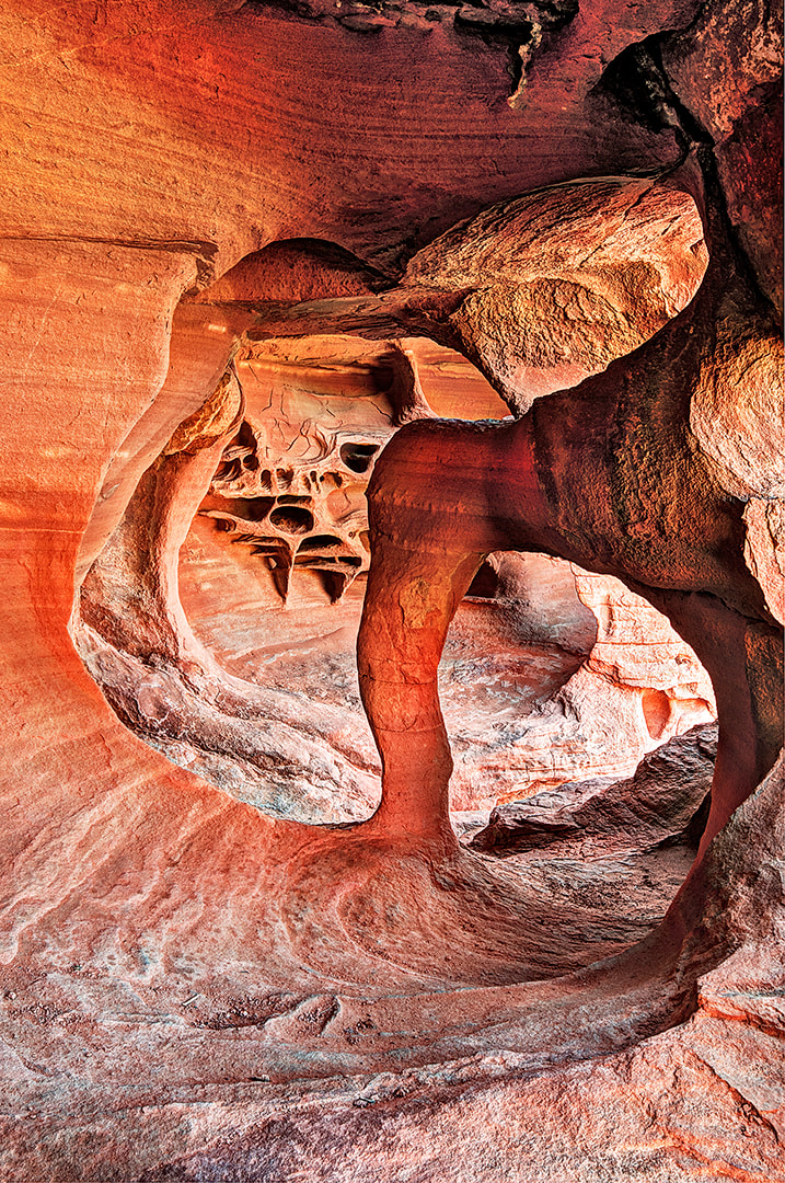
Issue #130 - The Hoh Rain Forest, Washington of my Photograph America collection includes the best beaches for photography along the Pacific Coast. Since I photographed the Valley of Fire for Photograph America Newsletter #045 - Valley of Fire, Nevada in 1997, I have been returning for more photo explorations every time I drive through Nevada’s largest state park, located an hour east of Las Vegas. I realized the fantastical rock formations and spectacular red sandstone landscapes needed more coverage. Park rangers have been helpful with information about remote and seldom-visited features of the park. Chatting with photographers on the trails often helps me find new locations. I’ve been recording GPS coordinates to mark new discoveries.
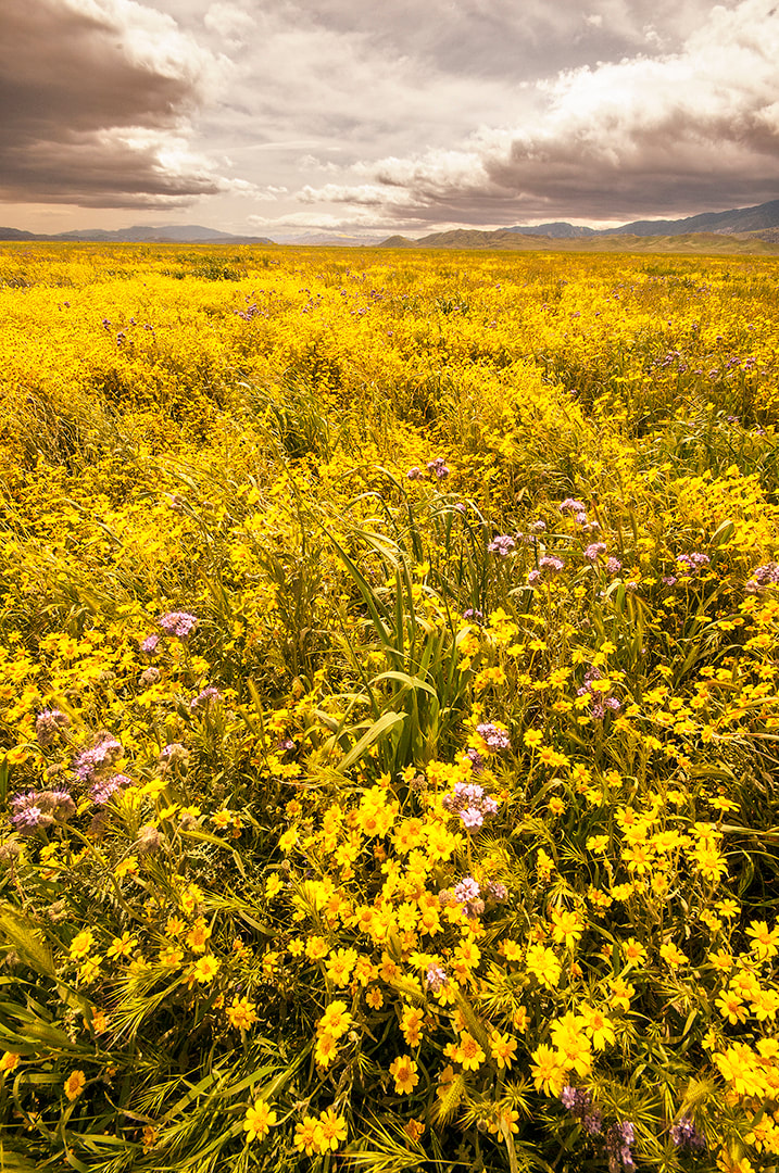
Described in this issue #129 - Return to Valley of Fire, Nevada are some locations that you will want to photograph on your next trip to the Valley of Fire. Many of the best formations are hidden away, far from park roads. There are few official trails through the Valley of Fire. If you park your car safely and legally off the pavement, you can explore anywhere you wish. The Scenic Drive to White Dome is closed at sunset. There are many other places in the park to photograph at sunset. Wildflower photographers should know about the Carrizo Plain National Monument, located in southwestern California, one hundred miles northwest of Los Angeles and halfway between Bakersfield and the coast. It’s one of those places that few people visit and even avid nature photographers may not know about. Designated as a national monument in 2001, this remote basin has the largest display of spring wildflowers in California. The wildflower season usually starts in late March, peaks in mid-April and ends in mid-May. El Niño weather patterns and heavy winter rains in the area usually mean great displays of countless wildflowers stretching for many miles.
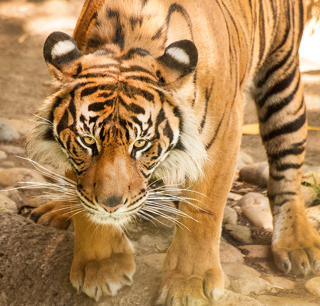
Surrounded by mountain ranges, this remote basin is fifteen-miles wide and stretches fifty-miles long from northwest to southeast, covering 250,000 acres. To the west are the Caliente Mountains. To the east is the Temblor Range. Between the Temblor Range and the Carrizo Plain runs the infamous San Andreas Fault, visible as it runs in a straight line at the base of the Elkhart Escarpment. Get all the details on the Carrizo Plain wildflowers in my Photograph America issue #142 - Carrizo Plain Wildflowers, California. If you are planning to take an African safari to photograph wildlife in Kenya, Tanzania, or Botswana, start by applying for or updating your passport and then getting a few days of practice at your local zoo. A trip to a zoo will give you the opportunity to learn how to operate your camera properly so that you can capture the best possible photos of all the creatures you will find in the wild. Even if you have no plans for international travel, any photo trip to the zoo can be interesting and enjoyable.
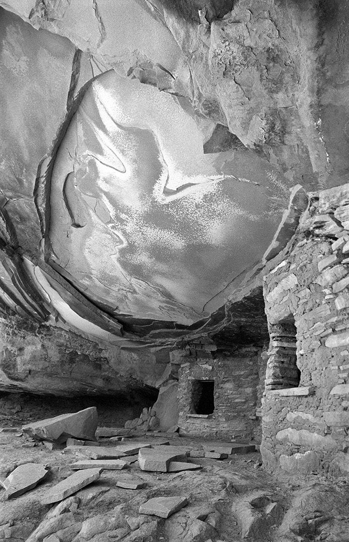
Most large cities and many medium-sized cities in the United States have a zoo. There are over twenty-five in the state of California, and over 2,500 zoos spread across the country. Do an Internet search to find the best zoos in your area. I have visited several zoos recently to expand my wildlife photo collection and to take note of some tips that may help you with your photography at the zoo. Issue #143 - Photographing Wildlife at the Zoo of Photograph America has tips that will greatly improve your zoo photography. The Lake Powell area has some of the most beautiful landscapes in the Southwest. You may have photographed some of them but you probably never discovered the Road Canyon Ruins, one of the most dramatic ancient Anasazi ruins in the heart of the Cedar Mesa wilderness. Southeastern Utah’s Cedar Mesa and the Grand Gulch Wilderness Area are filled with well-hidden Anasazi ruins. In deep alcoves along the sandstone cliffs of the many remote canyons across Cedar Mesa are at least 1,700 documented Anasazi sites. Some of the most fascinating and most photogenic tall, fluted towers of white sandstone, near the town of Page are included in this issue. Directions to these incredible formations are provided in this issue. Many photographers visit Monument Valley each year, but few ever discover the fantastic view from the top of Hunt’s Mesa. Every time I discover a new panoramic vista in the desert or another Anasazi ruin or a remote desert canyon, I realize there is no end to the beauty to be discovered all around us.
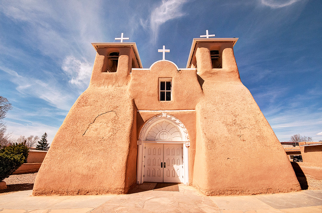
This newsletter contains all the details you’ll need to plan a two-week photo exploration of the Southwest where you can produce a collection of images that will increase your reputation as a photographer. My Photograph America issue #077 - Two Weeks in the Desert, Utah details a two-week itinerary around the Southwest. The quality of the light in northern New Mexico is unique. Since the area is located on a high plateau on the edge of the Sangre de Cristo Mountains at 7,000 feet, the rays of the sun are not filtered by that last mile-and-a-half of the earth’s atmosphere. There is no major industry in Santa Fe or Taos and almost no humidity to create a diffusing haze. Pure colors and sharp-edged shadows are the themes of many of the local artists. Santa Fe and Taos galleries display the work of thousands of painters and photographers, all trying to capture the essence of this part of the Southwest.
If you have been looking for a new theme or a new direction for your photography, visit and photograph the high desert of New Mexico. The Pueblo Indians, living on the site of Santa Fe, long before any Europeans arrived, called their village “the dancing ground of the sun.” You’ll find maps and details in issue #025 - Santa Fe and Taos, New Mexico of my Photograph America collection. |
BlogNotes and images from Bob Hitchman. Archives
July 2024
|

