|
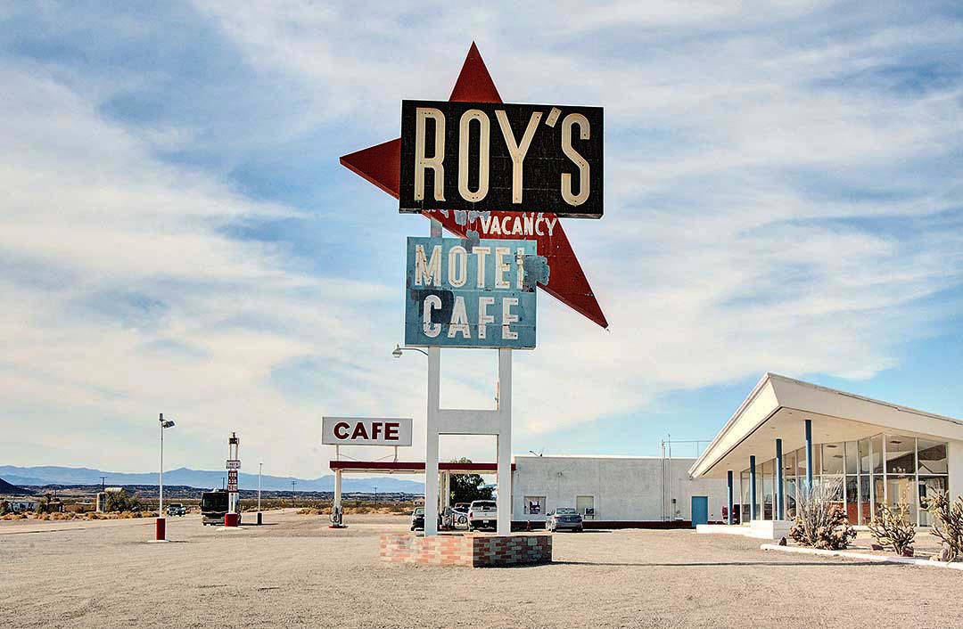
Just a tiny black dot on my AAA road map, Amboy is known for an iconic art deco sign facing a lonely stretch of the original historic Route 66. Halfway between the towns of Barstow and Needles, California, and near the edge of the Marine Corps Air Ground Combat Center, this is the middle of the Mojave Desert. Amboy was originally settled in 1858. It did not become an official town until 1883 when the railroad tracks arrived. The opening of Route 66 brought tourists and traffic to Amboy. In 1938, Roy Crowl opened Roy’s Cafe and Motel with the only gas station and lodging in that part of the Mojave. Highway 40, a fast multi—lane superhighway a few miles to the north, displaced Route 66 in 1973 and Roy’s business never recovered. Due to lack of water, the kitchen has been closed. The cafe now sells gifts and Route 66 souvenirs. Thriller and low—budget horror films have been shot at Roy’s. The current owner is also the owner of the original McDonalds in San Bernardino, California, which is now a museum. A gallon of unleaded gas at Roy’s sells for twice what you’d pay elsewhere. A tall wire fence behind the gas station, cafe, and motel cabins keeps photographers away from all the interesting things beyond– the old school, an old hanger and an air strip (one of the first in California), and many weathered sheds and lodgings. Weathered by the desert sun behind the windows of the motel lobby is a piano and a wooden carousel horse. There are abstract patterns everywhere, including the sweeping, triangular roof over the motel’s lobby casting long shadows across the wide parking lot. For the best light on the fading colors of Roy’s sign, set up your camera facing west in morning light and facing east in the afternoon. Both angles work well. Look west to include the cafe and gas station beyond the Roy’s sign in the morning. In the afternoon, you’ll see a long line of white motel cabins beyond the Roy’s sign. That sign is a major icon on the list of historic roadside American signs.
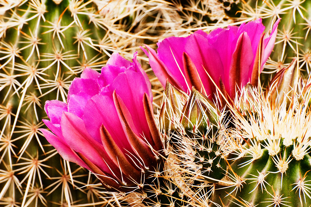
The spring wildflower season starts in February on the lower deserts of Southern California. The low deserts of Anza—Borrego State Park, almost on the Mexican border, are usually the first places to see the arrival of spring color. I prefer the greater variety in the desert environments to be found further north, especially at Joshua Tree National Monument, only a few miles east of Palm Springs, California. Joshua Tree can be a great place to photograph blankets of poppies, clover, lupine, mallows and small desert sunflowers covering the sandy, dry washes and the rocky hillsides. Even if wildflowers do not appear in great masses, there are many other things to discover in Joshua Tree. The geology is fascinating. There are old mines to explore, and the Joshua trees, yuccas, and many varieties of cactus to be photographed make this trip worthwhile.
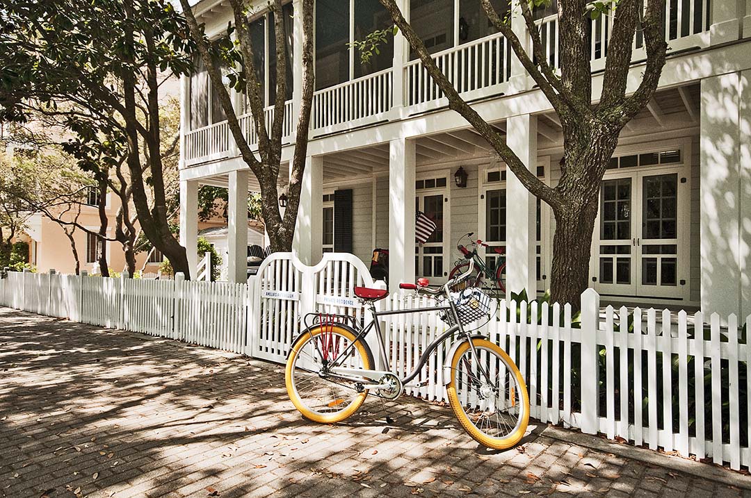
This exploration of the coastline of Florida’s Panhandle starts in Tallahassee, surrounded by forest trails, lakes, fascinating geological formations and natural springs large enough to feed rivers. I photographed state and national parks near Tallahassee before heading west to follow and photograph the 250-mile coastline to Pensacola. This trip starts along the Big Bend Coastline, the northwestern part of Florida where Florida’s Gulf Coast bends toward the west to meet Alabama. Wherever it was possible, I followed the edge of the Gulf. Route 30A took me into the town of Seaside, an odd version of a storybook beach community. All the traffic on Route 30A is routed down the main street of Seaside, the location used to film the 1998 Jim Cary movie called the Truman Show. It was a good place to stop for lunch and some explorations. I did find interesting beach scenes, colorful bicycle patterns, and lots of pastel architectural studies. Here are America’s most beautiful beaches, amazing wildlife refuges, lighthouses and a historic fort.
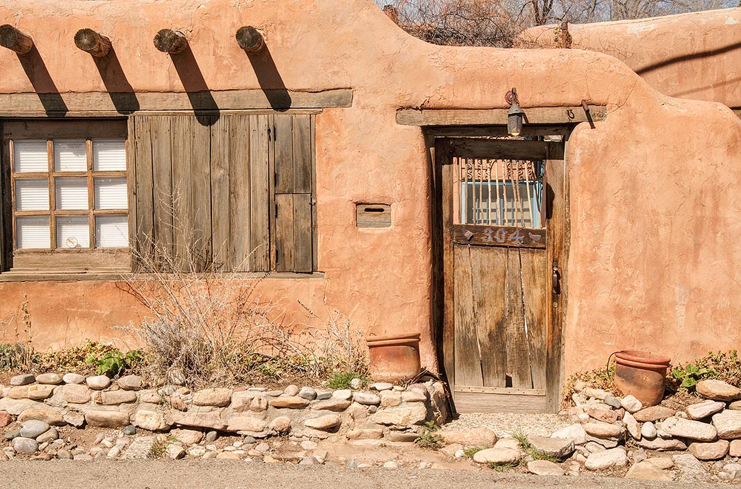
One of the oldest roads in the United States, and probably the oldest still in use, is Santa Fe’s Canyon Road, an Indian trail in the 1300’s. “El Camino del Canyon” connected the Santa Fe pueblo and the pueblo at Pecos to the southeast. The road was used by woodcutters to bring firewood into town on their burros. In the 1920’s, a small community of artists took up residence along Canyon Road. Today, over one—hundred shops and galleries can be found along a seven— block length of this narrow road. Allow at least a half—day to explore Canyon Road. Start at the western end, where Canyon Road intersects with Paseo de Peralta, and walk eastward. Morning light casts strong shadows across doors that are mostly painted a traditional shade of blue. The muted earth tones of adobe walls accentuate the bright, contrasting colors of hanging ristras, or strings of red chili peppers. Window boxes filled with red geraniums reflect in the old glass of hand made windows. If you are searching for black—and—white images, look for simple patterns of light and shadow, and textures revealed by strong cross lighting. Watch for hand made doors of weathered wood and brightly painted wood. Some doors open onto court yards and gardens of bright flowers, cactus, and weeds. Discover courtyards in full sun and others shaded by cottonwoods and Russian olive trees. Canyon Road is lined with expensive homes, designed to look like simple adobe haciendas. Most are surrounded by walled courtyards and tall cottonwood trees. These houses are often quite deceptive from the outside. These simple, mud—colored adobe homes of low rectangular shapes have been softly rounded by the hands of craftsmen working and building in an ancient style–the style that all of Santa Fe has adopted. Morning light illuminates only half the scenes along Canyon Road. Return in the late afternoon and walk the other side of the road. One of my favorite spots is the old gate on the southwest corner of Canyon and Delgato Roads. If you find a car parked in front of your favorite spot, come back later in the day and try again.
|
BlogNotes and images from Bob Hitchman. Archives
July 2024
|


