|
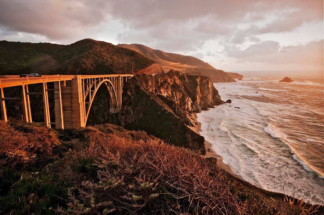
One of the most photographed bridges on the Big Sur Coast, the Bixby Creek Bridge was constructed in 1932, filling a challenging gap in the completion of Highway One through the Big Sur area. Before this bridge was built, all traffic had to drive a long, winding, and steep road that heads inland to cross Bixby Creek in a narrow, mountainous redwood forest and then returns down to the coast at Andrew Molera State Park, a twelve-mile detour on the Old Coast Road. Pull off the pavement at the northwest corner of the bridge and fill your viewfinder with the long, curved concrete bridge and distant cliffs dropping into the Pacific. The bridge is 260-feet high, 40 feet higher than the Golden Gate Bridge. You may need to shoot several over-lapping vertical images to be merged into a seamless panoramic composition later.
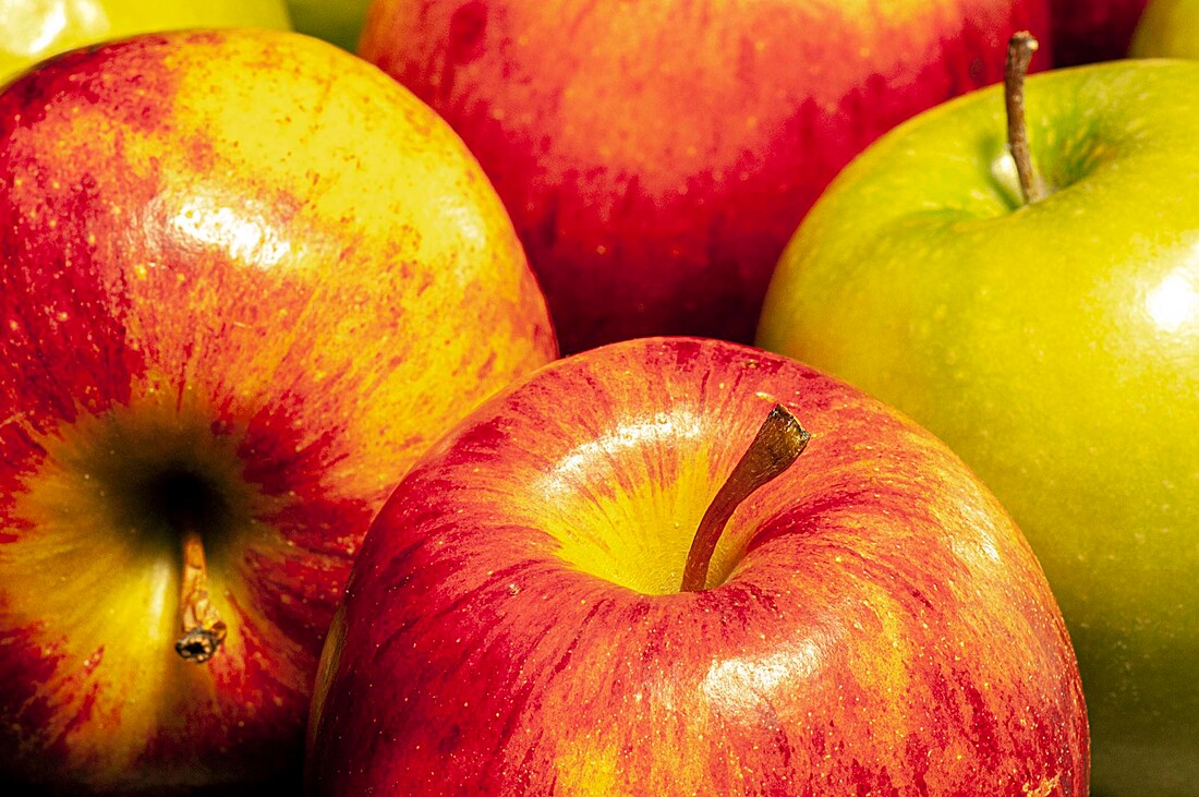
At the north end of the bridge crossed by Highway 97 is the Maryhill Fruit Stand. It’s colorful and easy to spot but all the bridge traffic makes it tricky to pull into and out of the parking lot. The Maryhill Fruit Stand sells local fruits and veggies. In late July, the peaches, watermelons, and nectarines were at their peak. I filled a bag with Rainier cherries that look like plums but have a flavor new to me. Peaches were sold by the box or individually. I picked a small, seedless watermelon and a bottle of apple cider. After making a purchase, I asked permission to photograph the fruit stand and the art work covering it. The young man at the counter said that most customers photograph the fruit stand but few people ask permission.
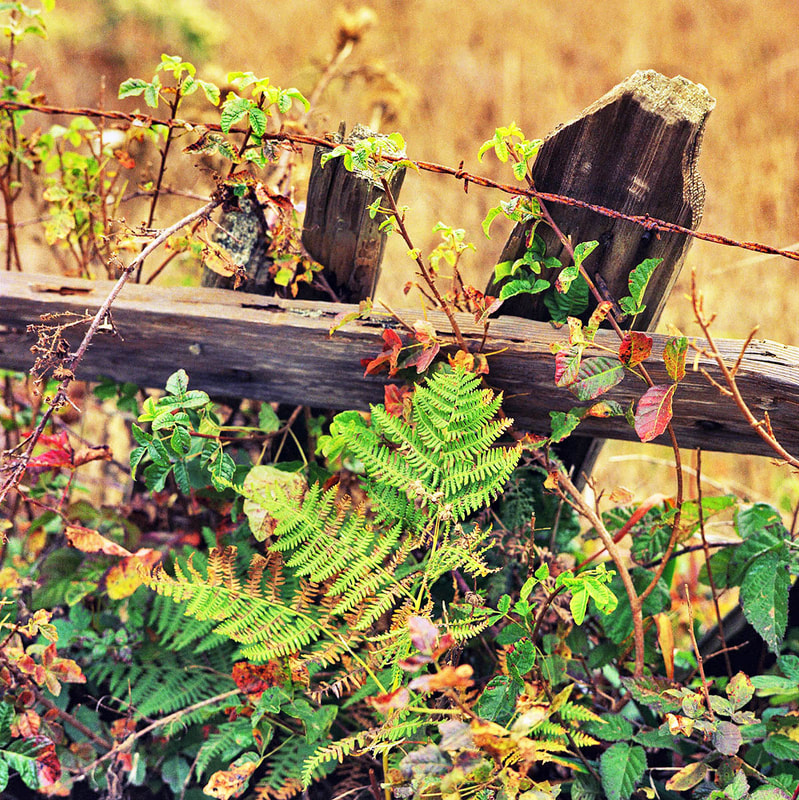
Bracken, poison oak, and wild blackberry were growing like a hedgerow along Mesa Road, from Bolinas to Palomarin. This back road leads to the southern coastline of Point Reyes National Seashore and the Point Reyes Bird Observatory. The last time I was out there, it was still the only full-time ornithological research station in the United States. Few visitors ever venture out to the Palomarin area, although locals know the trails and walk their dogs on the beaches. Many wildflowers line the trails through March and April. Blue and purple Douglas iris are plentiful. Paintbrush, lupine, and poppies grow everywhere. Summer days are often cold and foggy. Weather along this coast is best through September, October, and early November.
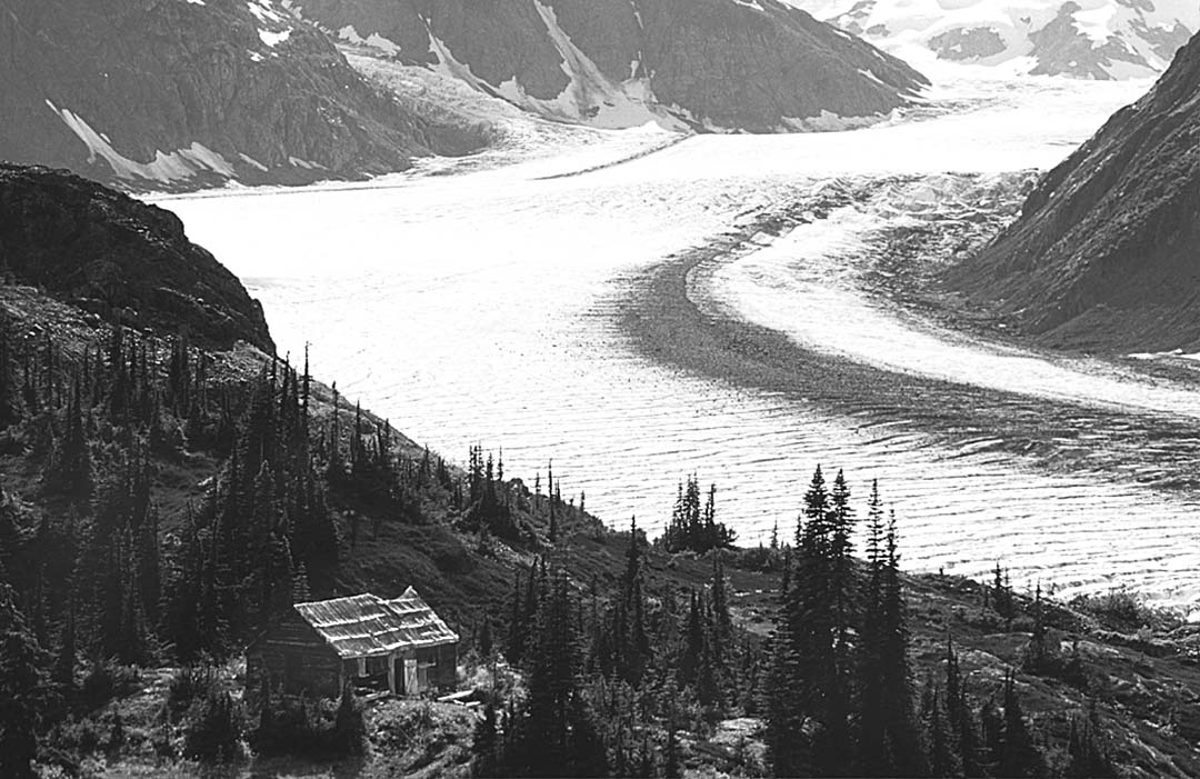
Twenty miles north of Hyder, Alaska, on the Canadian side of the border, the Salmon Glacier has cut a deep “S” curve through the mountains. This is the fifth largest glacier in Canada, a tiny remnant of the icefields that covered most of British Columbia and Alaska about 14,000 years ago. Photographers photographing the bears catching salmon along Fish Creek should take a half—day break and head north on the road beyond Fish Creek. Although the Salmon Glacier Road is unpaved and rough in spots, you can drive to the base of the Berendon Glacier at the far end of the road, 25 miles, without a 4x4 vehicle. Gold and copper were discovered here in 1910. Pick a clear day for this trip, when the clouds roll in, you can’t see the glacier from the road. Six miles north of Fish Creek, the road climbs up and out of the Salmon River Valley. A half—mile north of the Summit Viewpoint, you’ll see this old miner’s cabin.
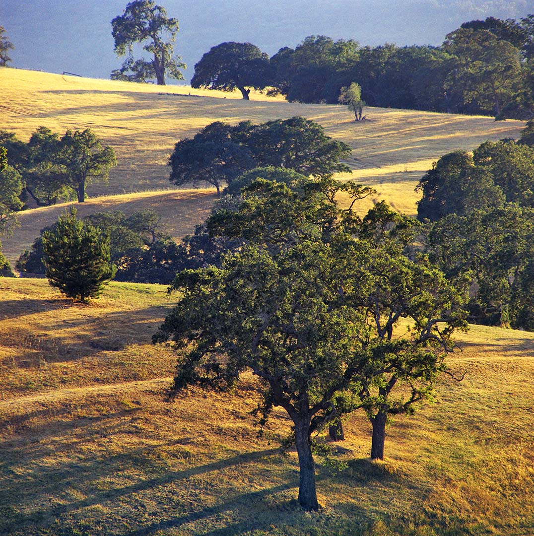
Back in the 1960s I was photographing California landscapes in the foothills of the coastal range on the western edge of Stanford University. This afternoon image is one of my favorite Hasselblad shots. I sold many large–30x40 inch framed prints. I recently scanned this fifty—year—old negative for this Instagram portfolio. Details that I recorded included exposure information, the lenses, films, and filters I used. All the locations are described with trail information and suggestions about the best seasons for California landscape photography. Included are mostly images of low rolling hills covered with spreading oaks casting long shadows and old fences covered with ferns and wild blackberry vines in the hills between Stanford University and the Point Reyes National Seashore.
|
BlogNotes and images from Bob Hitchman. Archives
July 2024
|

