|
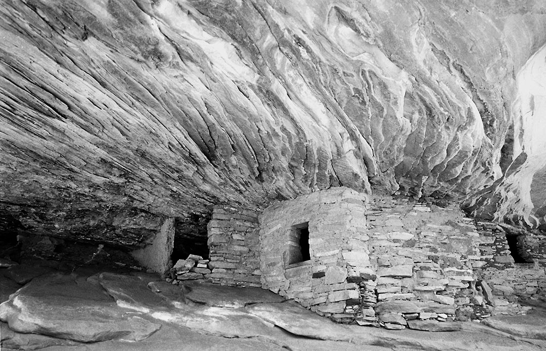
A few miles east of Utah’s Natural Bridges National Monument, on Highway 95, is a marked side road at the Mule Canyon Visitor Center. This place has a large parking lot, some restrooms, and a short, paved trail leading to several restored Anasazi ruins. This is NOT where you'll find the ruin in the photograph above. That will take a little walking. If you return to the pavement of Highway 95 and drive a quarter-mile east to an unmarked dirt road heading north you won’t need a 4x4 to drive a third-of-a-mile to a wide spot along the road crossing the east-west wash called the South Fork of Mule Canyon. Park here along the road and follow the trail down the west side to the trail register box in the canyon. The trail is easy to follow as it heads west, up the canyon, crossing and recrossing the stream bed for about twenty minutes, or three-quarters of a mile. The real Mule Canyon ruins are located on the right side of the trail. A side trail leads up the slope to the base of the ruins. The ruins are twenty feet above the stream bed and are easy to reach with no rock scrambling.
Please do not touch the walls. The ancient structures are fascinating but what makes this short hike worthwhile are the multi-colored layers of stone creating the “flaming ceiling” of the deep alcove above the ruins. You can find more information on Mule Canyon Ruin in Issue #77 Page 11 of Photograph America Newsletter. Comments are closed.
|
BlogNotes and images from Bob Hitchman. Archives
July 2024
|

