|
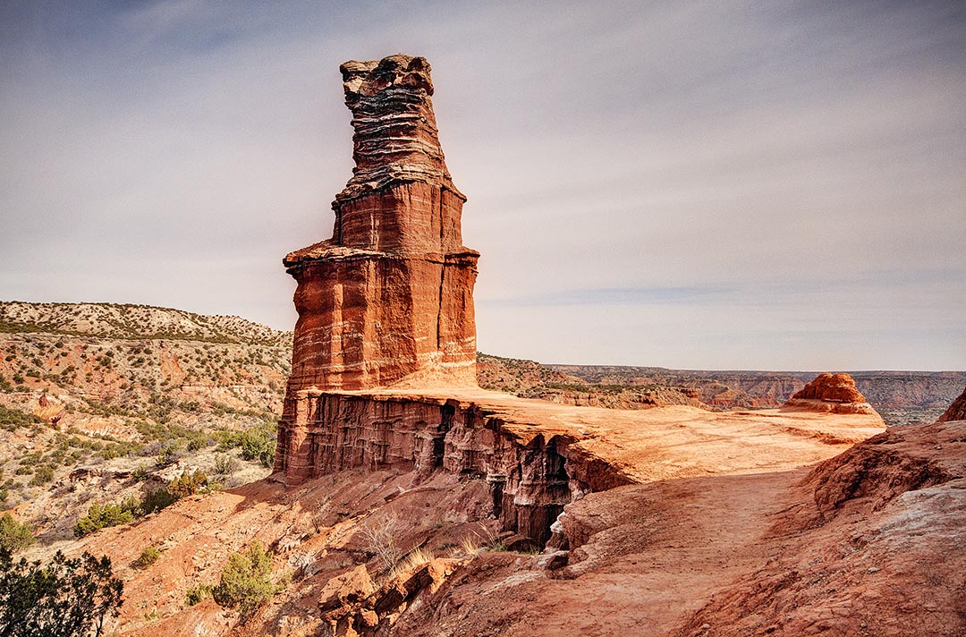
In Northern Texas is Palo Duro Canyon State Park. South of Colorado, west of Oklahoma and east of New Mexico, Palo Duro Canyon is near Route 66, twenty miles south of the city of Amarillo, the largest city in the Panhandle of Texas and twelve miles east of Canyon, the College town of Canyon, Texas, with a good selection of motels and restaurants.The rim of the Palo Duro Canyon is at the same level as the flat countryside of the Texas Panhandle. The entrance to Texas’ second—largest state park is located at the northern tip of this 120—mile—long and 800—foot—deep canyon, the second largest canyon in the United States. You can drive to the bottom of Palo Duro Canyon State Park on a paved road. There are six river crossings on the road through the canyon. Just beyond Crossing #2 is a large parking area at the trailhead for the Lighthouse Trail. The Lighthouse is a moderately strenuous trail that gradually climbs 940 feet in 2.7 miles to the viewpoint at the base of the iconic red rock formation called The Lighthouse, for a total round—trip hiking distance of 5.75 miles.
Comments are closed.
|
BlogNotes and images from Bob Hitchman. Archives
July 2024
|

