|
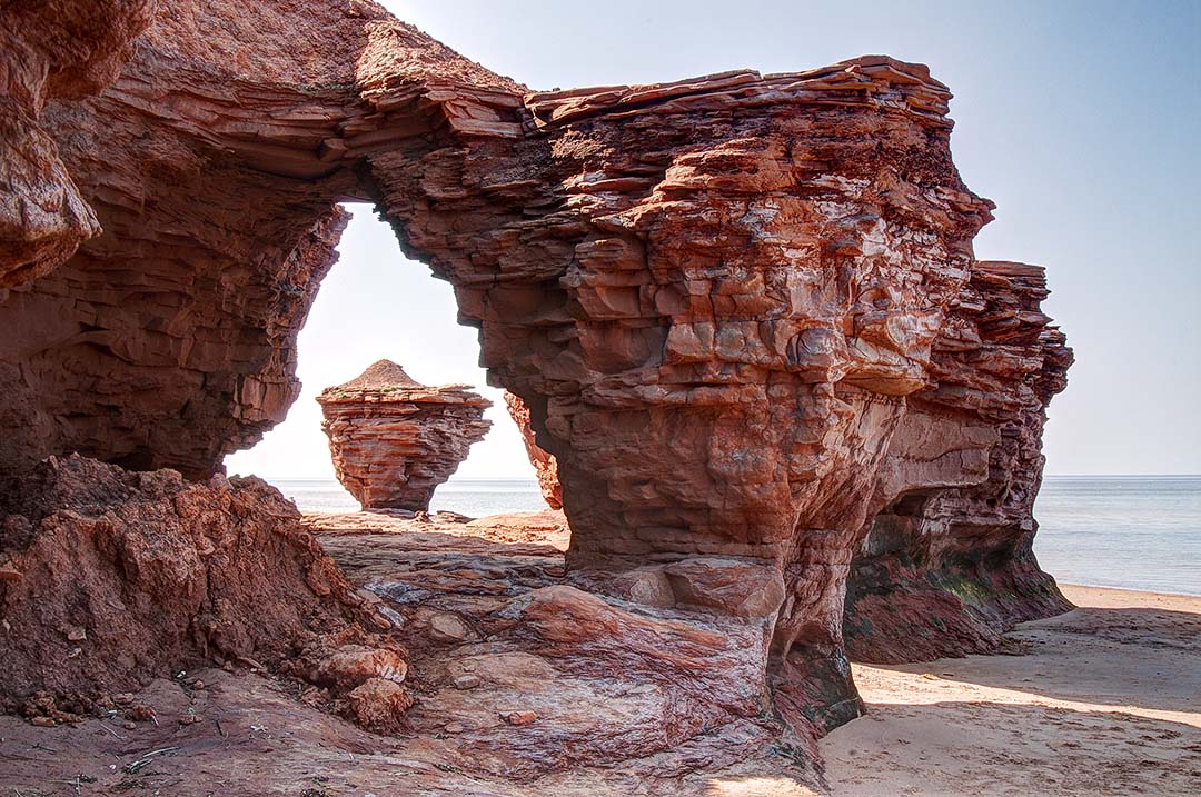
On the north shore of Prince Edward Island, 3.5 miles east east of the village of Malpeque, watch for Lower Darnley Road on Route 20. Turn north and drive until you see a sign at the junction of Thunder Cove Road. A couple minutes on this gravel road will take you to the edge of the cliffs above Thunder Cove. Park in the middle of a large curve in the road and you’ll find a narrow trail leading 65 feet down the cliffs to the beach. Down on the sand, walk 15 minutes west to find some bizarre geological formations carved by storm-driven waves blowing in from the north. Arrive during a high tide and you’ll have trouble getting around the points extending farther into the ocean. A lower tide will expose more of the strange formations and reveal reflecting pools that mirror the images you’ll want to photograph.
Depending on which way you’ll be shooting, these formations will work for you in morning or afternoon light. A thick fog will add drama to the scenes. A sky full of clouds will be better than a bald, blank sky. If you will be passing through here just once, photograph what you find and work with it later. Allow at least an hour for the beach hike and a thorough photo session. Avoid summer weekends here when this beach is covered with tourists and all the parking spaces are full. Comments are closed.
|
BlogNotes and images from Bob Hitchman. Archives
July 2024
|

